I embarked on my self-driving adventure along Chile’s Southern Highway on January 4th, with an estimated journey of 14 days.
**Day 1 Itinerary (as shown in Figure 1)**
1️⃣ **Pick up the car in Puerto Montt**
After comparing several options, I discovered that renting a car in Puerto Montt was the most cost-effective choice among the nearby cities. This made it the perfect starting point for my journey.
2️⃣ **Puerto Montt 🚗 via Puerto Varas 🚗 Hornopiren**
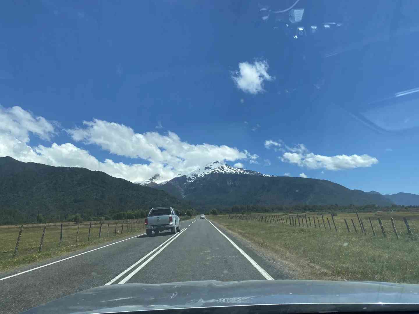
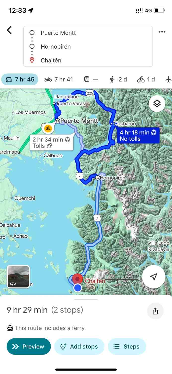
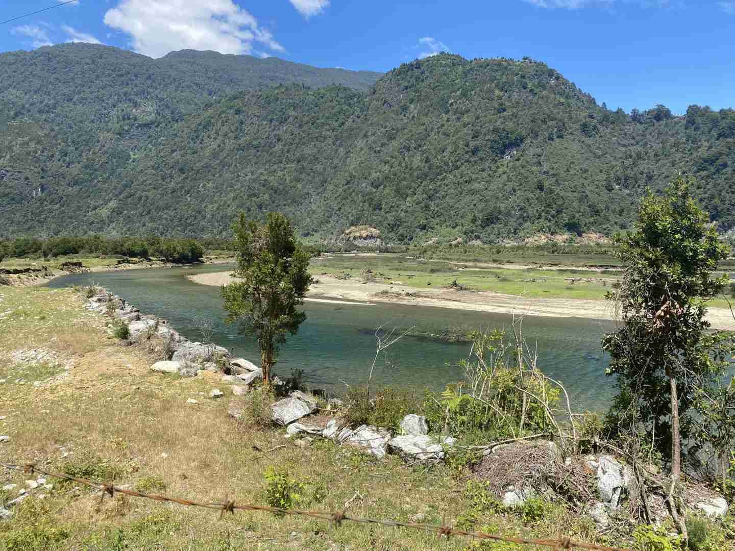
There are two main routes from Puerto Montt to Hornopiren: one involves multiple ferry crossings, while the other takes a slight detour through Puerto Varas and sticks to the roads. I opted for the road-only route, which offered more control over my travel time. As shown in Figure 1, you can set Google Maps to “avoid ferries” to navigate this path. The scenic views along the way are captured in Figures 3 and 4.
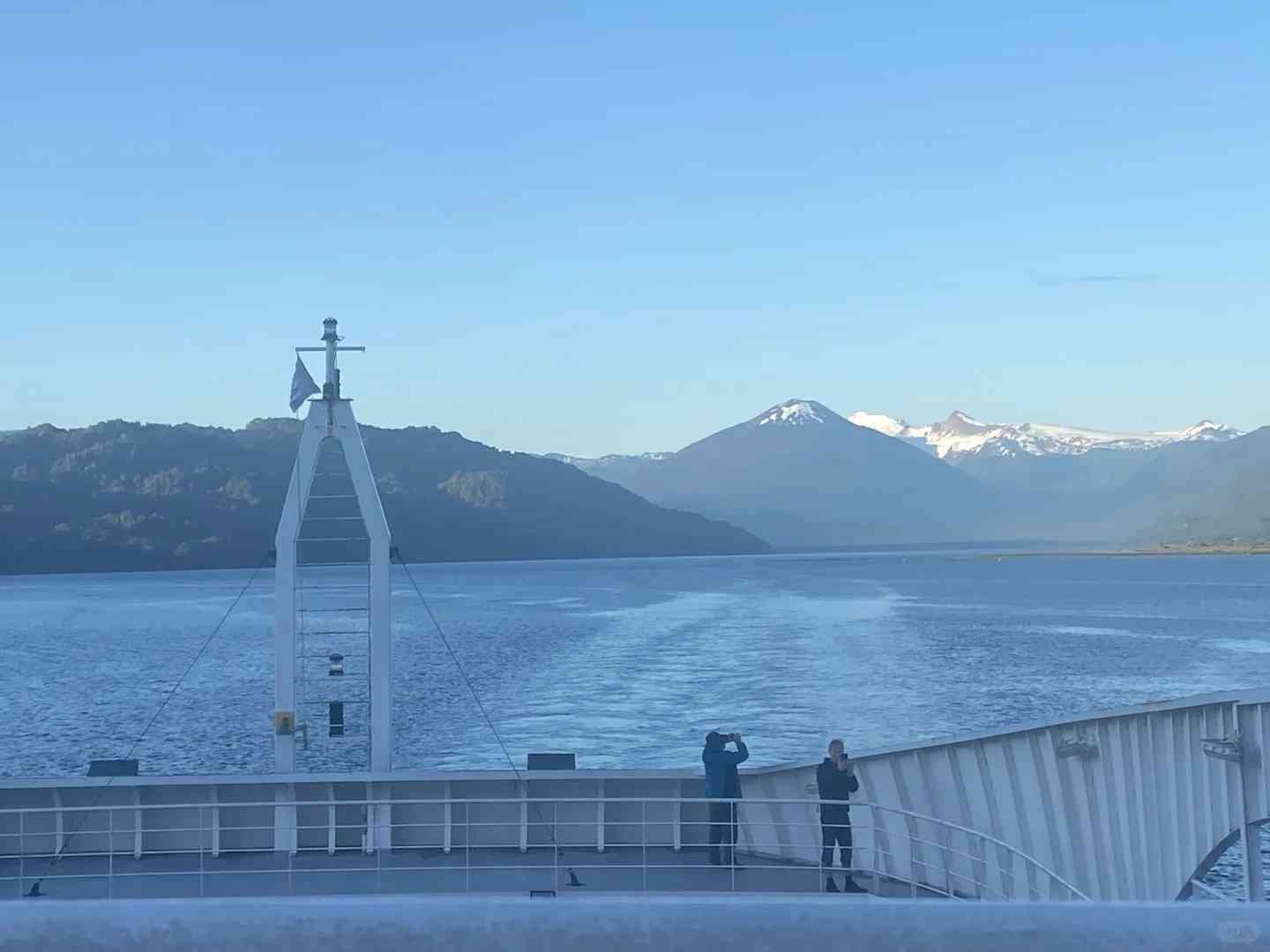
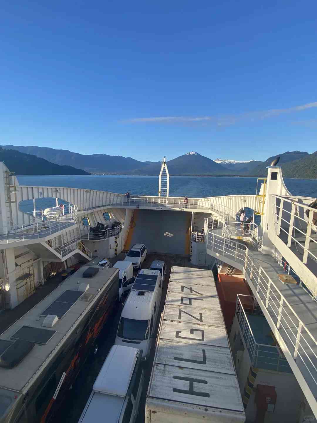
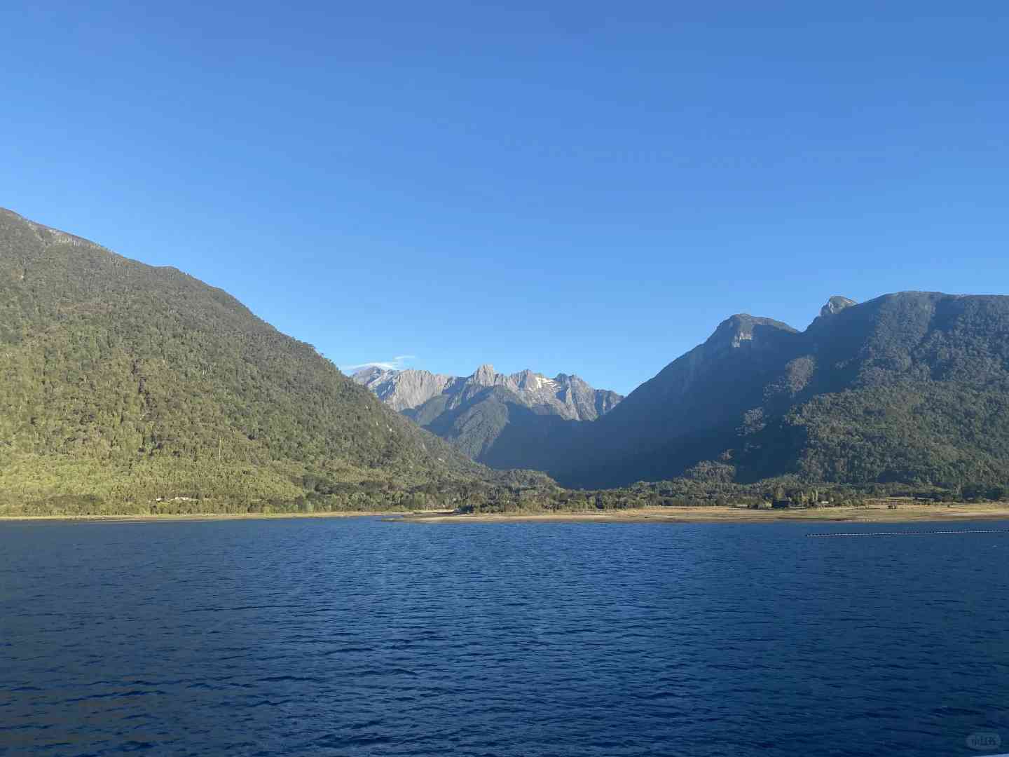
3️⃣ **Hornopiren 🚢 🚗 🚢 Caleta Gonzalo**
This segment of the Southern Highway is unique and requires taking a ferry. The ferry ride offers stunning views, making it a highlight of the trip. First, you take a 4-hour ferry, then drive for about 20 minutes, and finally, take another 30-minute ferry to reach your destination.
The ferry and the breathtaking scenery are depicted in Figures 5, 6, and 7.
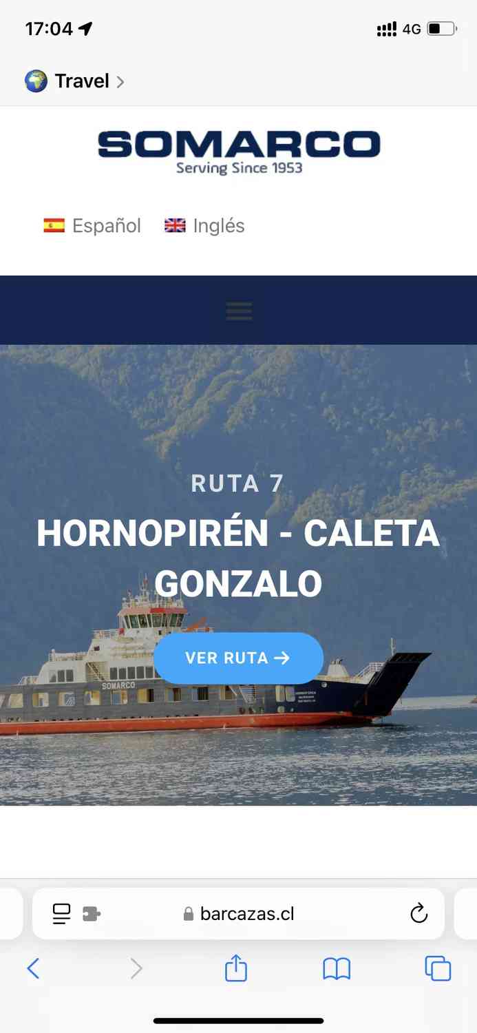
⚠️ This ferry is extremely popular, and tickets often sell out quickly. It’s crucial to book in advance. There are two daily departures at 10 am and 6 pm. I chose the afternoon departure, but I wouldn’t highly recommend it, as delays are common, and driving late into the night can be tiring.
If possible, opt for the morning departure. If, like me, you couldn’t get a ticket (due to getting the car late and facing difficulty in purchasing tickets), you can try queuing on-site. Sometimes, if someone who booked a ticket doesn’t show up, they might let you board. Although I managed to get on, I strongly advise everyone to secure their tickets in advance!
4️⃣ **Caleta Gonzalo 🚗 Chaiten**
From Caleta Gonzalo, it’s a straightforward drive to Chaiten. Chaiten is a relatively large city where you can restock supplies and refuel, making it a convenient stop along the way.
**Additional Information:**
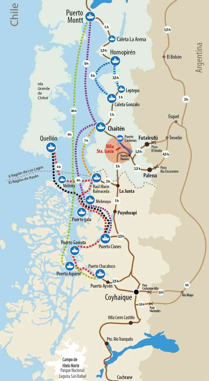
In Figure 2, I’ve included a schematic diagram of the transportation methods along the Southern Highway. I found this in the evening, and it proved to be quite accurate, providing significant help in planning my itinerary.
Comments are closed