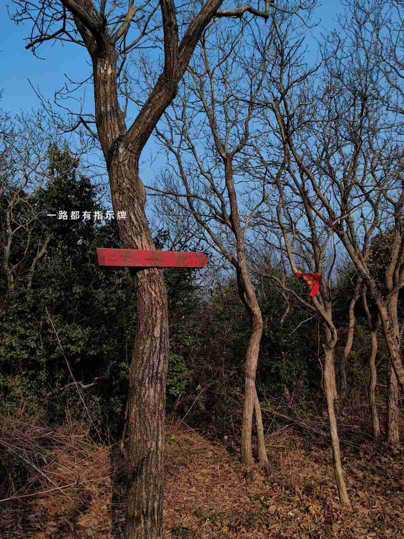
There are numerous trails leading to Mount Kao Lao, and adventurers can easily find their way using maps from Liang Bulu or Liu Zhi Jiao.
The primary trails of Mount Kao Lao are paved with steps, offering a leisurely hike. Longer routes even take you past the stunning Baiyang Waterfall, making it an ideal journey for families with children and pets.

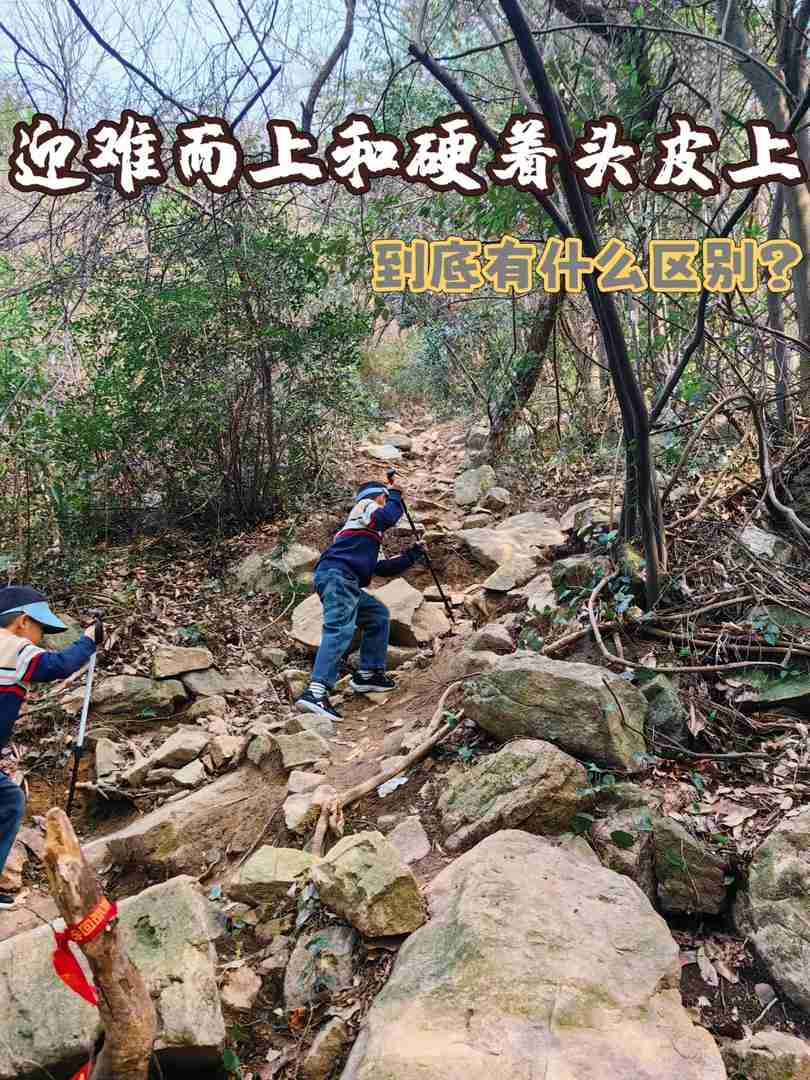
For my adventure, I selected a 7-kilometer loop on dirt trails that also leads to Baiyang Waterfall. The route includes a short stretch of rugged wilderness, which climbs steeply and adds a bit of challenge. If you choose this path, trekking poles are highly recommended, as the trail can become slippery after rain.
📍Self-driving navigation: Head to the Kaolao Mountain Scenic Area Shanglin Lake Parking Lot (weekends can get busy, so avoid random parking. A safer option is to park near local residents’ homes for a small fee of around ten yuan).
🚶🏻Hiking duration: Completing the loop takes about three hours. Starting after 4 PM isn’t advisable, as navigating the wild sections in darkness can be perilous.

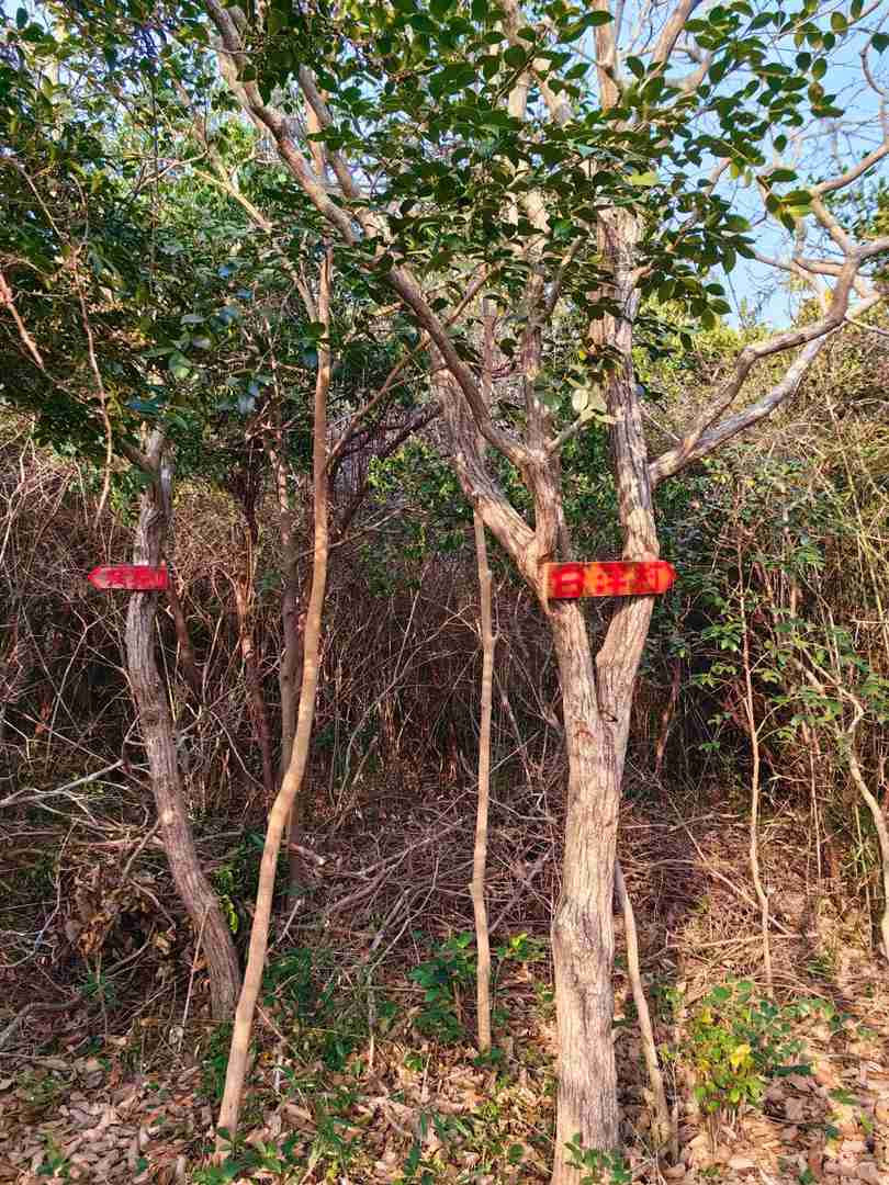
🦯Route reference: I followed the Liang Bulu route from the last map, but after descending, there’s a two-kilometer stretch of cement road with fast-moving traffic. For convenience, opt for the loop that lets you retrieve your car immediately after finishing the descent.
💡Tips: Dirt trails are best tackled with trekking poles, as scrambling with just hands and feet can be uncomfortable.

Always carry a garbage bag during your outings—unfortunately, the mountain peak is often littered with trash. If left unchecked, there might soon be no clean space to step on. At crowded photo spots, you might even need to hold your nose! Remember, environmental protection is everyone’s responsibility.
This time, I relied on my Huawei GT5pro, purchased half a year ago, for navigation during the hike, and it proved incredibly helpful. Simply select your desired route on Liang Bulu, export the GPX file, then open the Huawei Health app on your phone, download the track, and sync it to “My Route” on your watch for seamless guidance.
Along the way, you’ll receive real-time route directions and off-course alerts—even in areas without mobile coverage.
Not only does the GT5pro excel for hiking, but it supports over a hundred sports modes, including mountaineering, swimming, golf, and extreme sports, catering to diverse fitness needs.
Its battery life pleasantly surprised me; I typically charge it once every ten days, and it fully charges in just one hour, making it exceptionally convenient.
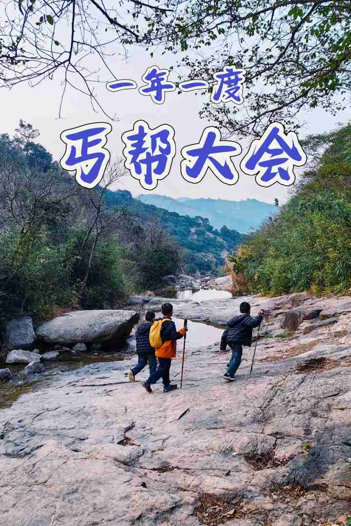
Spring has arrived—it’s the perfect season to step outdoors.
Let’s conquer those spring mountains!!!